On Tuesday, March 12th, I performed land surveying on a project site where a new elementary school is to be built. The land area is on the order of 50 acres and is nearly full of very dense, very tall grass.

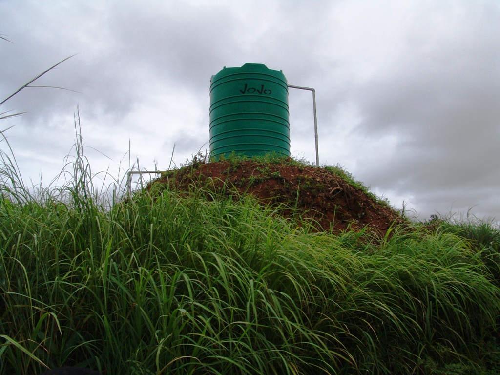
This grass makes surveying difficult. Fortunately there are several hills that were built by termites, upon one of which a water storage tank has been placed.

I used an instruction manual to figure out how to use the total station unit to tie in about 20 points from four instrument setups.
Then I returned to the house in which my EMI associates and I have been staying and I built a spreadsheet with another engineer to convert angles to decimal degrees and changed the elevations differences to absolute elevations (relative to an assumed datum). Having no survey data reduction software, I then drew these angles and distances in AutoCAD and added elevation coordinates and description labels.

The architects are using the survey information and also ground water percolation measurement information about this very flat land to build something called a Master Plan which seems to be a site plan based on hours of consultation regarding proposed uses and schedules and personnel and vehicle loads.
![]()
![]()
![]()
![]()
![]()
![]()


